Wednesday, November 9, 2016

Richards Bay, South Africa

We went on a Safari  with Sarah and Norman  from the yacht Norsa. Our first safari  ever at the Hluhluwe Park and what an experience  to see all these animals up close. We did get to see all the animals that we were to see and more. Alot were to far to photograph. Hope to do it again while we are in Durban.
The first animals we saw were the elephants. But of course  the pictures are all mixed up. Enjoy.😊 anyway

when the guide pointed out this photo it looked like tall trees but they were giraffes.  As you will see we drove to the area that they were at and saw them up close. They are so beautiful.
These are impalas.  You will see them better.


White Rhinos .


Zebra.

Beautiful scenery. 


More zebras with the giraffes  that you saw  that looked like tall trees.


Male impalas.

Female impala.

Male impala.

These white rhinos  are very rare.

More impalas.

This was our lunch break. We had a braai which is barbecue here in South Africa with wine, beer and soft drinks. Plus a pasta and fruit salad. It was great.

Wort hogs.

Water buffaloes. 
A baby  baboon. 

This is a  beautiful black bird with  a long tail and when it flew the tail just flatter fro side to side. I which I had a better picture of it plus it being black is hard to photograph. 
Here's another picture of this bird.
The scenery was just amazing. The mountains, the trees and the flowers. Incredible 

Big baboon.

Sunday, November 6, 2016

THE CROSSING

THE CROSSING
MADAGASCAR TO RICHARDS BAY
OCTOBER 15 -26, 2016
This is the passage that causes the most concern to cruisers.  So much so that many choose to take the Red Sea route or put their yachts on ships that will deliver them to Turkey on the eastern side of the Mediterranean.  Other considerations would be that the Mediterranean is a spectacularly beautiful place to sail for those that have never been there.  What makes this passage so difficult is the fact that the Mozambique current is a series of eddies that is moving around over time: sometimes one has current with them; at other times it is against.  The winds tend to be light or non-existent on part of the voyage but can reach gale force at other times.  All of this is dependent on the Low Pressure Systems that are developing on the West Coast of the central or southern part of Madagascar and the weather systems that are moving up the East African Coast.  The interaction between these two systems produces the weather for the crossing.

On the Malagasy side, Cape St Andre juts out of the West coast at about the central part and is a turbulent weather maker.  The Equatorial Current splits in two parts on the Eastern side of Madagascar and flows North around Cape d’ Ambre in the north and South around Cape St Marie at the southern tip in the South.  They meet at Cape St Andre causing turbulence and unsettled conditions.  Added to that are shallow waters that go out almost thirty miles and breaking seas under windy conditions.  What this means to cruisers is that they will have to make a detour around the shoals.  Another problem encountered is that there are many unlit coastal dhows plying these waters.  The are big and only have sail power.

There are several strategies for overcoming some of the difficulties.  One has been developed by a South African named Des Cason and is posted on Noonsite.  This one takes the shortest route from Madagascar to Mozambique on the East Coast of Africa.  The object is to get across at the narrowest point and find the Mozambique current which is located about seventy nautical miles offshore.  Once the current is found, the vessel alters course to the southwest and uses it to continue on to Richards Bay.  This route has a few “hide-aways” in case strong S’ly winds are coming up the East African Coast:  Bartholomew Diaz (21-08.8580’ S; 35-06.6215’ E,  Bazaruto (21-39.13’ S; 35-26.04’ E), Inhambane (23-44.149’ S; 35-23.692’ E), Inhaca (25-56.471’ S; 032-57.200’ E) provide safe shelters from strong SW-S’ly  winds.  The only other option is to get well offshore, out of the current, and hove to.  This seems to be the most favored route for cruisers making this passage in 2016.

The Mozambique current becomes the Agulhas current after Maputo, Mozambique.  This is the fearsome current that produces humongous waves during a “SW’ly Buster”.  It can run from 2-6 kts or more.  It’s the Gulf Stream on steroids.  Unless one is very lucky, it’s difficult to avoid at least one Cold Front moving up the East African Coast.  As long as there isn’t a lot of current involved or the system isn’t too intense, the vessel can weather it out.  One of the best Ham Radio weather reporters is the SamNet on 14316.0 mhz at 0630 & 1130 UTC.  He has the computer software to pinpoint the yacht’s position and read the synoptic charts and GRIB files.  He’s dedicated to giving all the Wx info a yacht needs to make safe decisions during the passage.  Des Cason: sygambit @gmail.com provides Wx updates and is knowledgeable in the passage as he hasdone it many times.  What makes this passage even more difficult is that the Wx systems along the East African Coat change quickly.  I believe that Des Cason has the best strategy for making a safe crossing.  It gives the cruiser the ability to seek a safe shelter and wait on a favorable Wx window.  It’s longer and more time consuming doing it this way but the end result is a safe passage.  I calculated that the voyage from Moramba Bay, Madagascar (14-53.288’ S; 047-20.436’ E) was about 1240nm.  It took us eleven days and three hours to make Richards Bay.  We had a good Wx window and did not stop at Bazaruto, Inhambane or Inhaca but continued on to Richards Bay.  We encountered one passing Cold Front off Cape St. Lucia (28-31.0’ S; 032-25.0’ E).  Since we knew it was coming, we worked our way out to 40nm offshore to be out of the current and hove to in 35-40 kt winds and 10-12’ seas.  The passing Cold Front lasted about 12 hrs.  After that, it was a pleasant sail into Richards Bay.

The voyage was a mixed bag of wind, no wind, favorable current, unfavorable current, big swells, flat seas, moderate seas.  We had to motor quite a bit after getting out of the daily sea/land breezes of Madagascar.  We encountered a windless hole where the “Iron Jenny” was needed.
The biggest downside to using Des Cason’s strategy is that Bartholomew Diaz, Bazaruto, and Inhambane can only be entered on a Rising Tide.  The sand/mud banks are numerous and if one runs aground the rising tide will lift the boat off in a short period of time.  This might require waiting around for several hours to enter.  If a SW’ly starts to blow, it becomes problematical.  Fortunately, we didn’t have to do this as we had a direct Wx window to Richards Bay.


The longest part of the crossing has been completed.  The most demanding is yet to come.  The Agulhas current starts to pick up strength from Richards Bay to Durban (90nm) and then runs full bore from Durban to East London(250nm) and on to Port Elizabeth (120nm).  This can only be negotiated with Wx windows.  There are no safe shelters along the way.

Wednesday, November 2, 2016

MADAGASCAR

MADAGASCAR
SEPTEMBER 6TH TO OCTOBER 15TH, 2016
Madagascar has some of the best cruising areas to be found anywhere.  The alternating sea/land breezes provide the means for the ancient dhows to safely navigate back and forth to various destinations in benign seas.  At night, when the sea breeze dies out, they anchor off the coast or in an anchorage until the land breeze kicks in, at which time they resume sailing.  It is an impressive sight to see these dhows sailing along without any assistance other than wind and sail.  Some of the coastal dhows are very big in the 60-80 ft range.  Most of the fising dhows are much smaller.  Essentially, they are made from a hollowed out log with an outrigger attached.  The sides are then built up with frames, floors and gunwales.  Then they are caulked and painted.  They leak so someone is always bailing out water.  The sails used come in many different forms from heavy canvas to plastic bags, tablecloths, bed sheets, potato sacks and anything else that can be used.  The ropes used to control the sails are pieces of scrap lines to homemade hemp fiber.  The mast is tilted forward and supports a lateen rigged sail.  The dhows are fast and move along beautifully.
Madagascar has to be one of the most interesting countries in the world.  Amidst all the poverty, there are family villages that are self-sustaining and remote.  They have nothing more than what they can produce or gather.  They only way out is by pirogue or dhow.  There are no medical facilities or roads for many of these villages.  Nosy Be is a tourist mecca.  Everything can be found that tourists demand:  luxurious resorts and restaurants, medical facilities (not great), sports fishing, scuba diving, liveaborard chartered Catamarans.  And everything is unbelievably cheap for a westerner with money.
Once this part of Madagascar is left behind by the ocean cruiser, the mainland to the South presents an entirely different picture and reality.  There will be no electricity in most of the villages; fruit and vegetables with be difficult to find; water is more difficult to get.  The beautiful indigo blue sea fo Nosy Be turns green and turbid to muddy by the time one reaches Moramba Bay.  The lack of many modern conveniences dries up.  Still, it is a stunningly beautiful place:  the friendliness and dignity of the Malagasy people makes it a sublime experience to be there.  The weather starts to change the further South one sails.  The SE Trade winds start to blow more frequently:  Sea/Land breezes are still there.  Moramba Bay (14-53.293’ S; 047-20.426’ E) was as far South as we sailed.  It was from here that we set sail for Richards Bay, South Africa: 1240nm.
The places we visited and anchored while in Madagascar are as follows:  Hellville, Nosy Be (13-24.411’ S; 048-17.068’ E); Crater Bay, Nosy Be (13-23.976’ S; 048-13.233’ E); Sakatia, Nosy Be (13-18.991’ S; 048-09.645’ E); Russian Bay (13-32.244’ S; 047-59.904’ E) on the mainland; Nosy Komba (13-26.528’ S; 048-21.291’ E); Baramahamay Bay (Honey River) 13-42.733’ S; 047-54.175’ E; Moramba Bay (14-53.262’ S; 047-20.420’ E).  There are so many other beautiful bays and anchorages that one could go to that it would take several seasons to see it.  Madagascar is so remote from most of the world that only the South Africans can sail back and forth between the two countries during the winter season.  The cyclone season begins on November 1st , in Madagascar.  This is the time that most cruising boats make the crossing over to South Africa to escape that area.
We would gladly spend a few more sailing seasons in Madagascar but age and time constraints make this impossible.  One thought is that it is possible to bare boat charter a Catamaran from Crater Bay and sail around for a month or two.  It will, probably, never happen.

Saturday, October 29, 2016

Moramba Bay

This drift wood looks like a Crocodile. 
This is how they dry their  fish In Madagascar. 
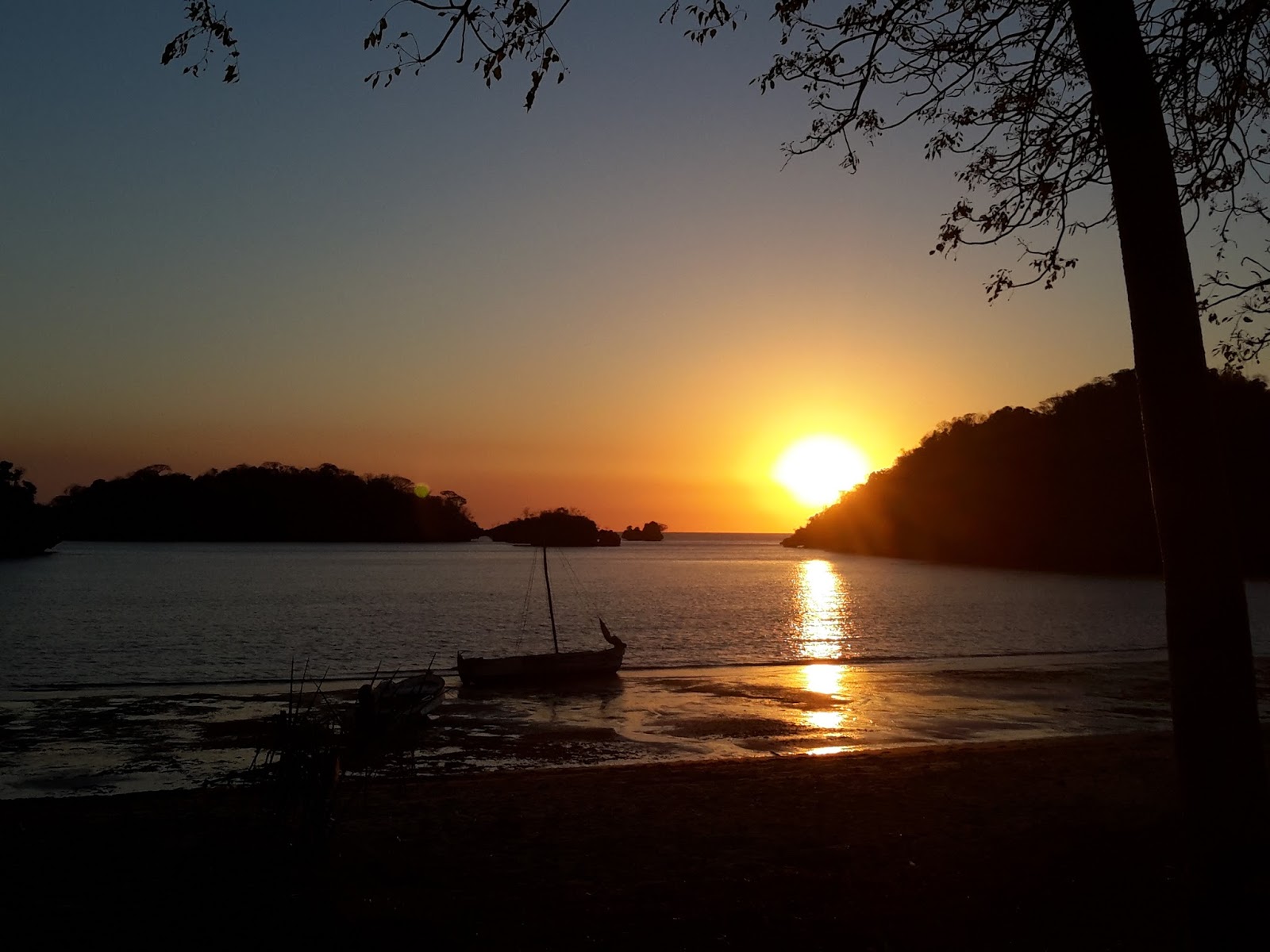
They have the most beautiful sunsets. The sky just turns orangey, purple and pink..
We are now anchored in Moramba Bay  and what a fantastic place to be anchored in. Madagascar  has been for us the most beautiful  place we have to so far. It is by far the poorest  place, but the people are very content with what little they have. There is no hassling , just big smile and a salutation. It will be very sad to leave this place. So here are some pictures of the last place we  are visiting before leaving  for South Africa  which will be on Sat.
As you can see in the next two pictures how fantastic  the colors are.

Just look at that.
This is  Bridget.  She is french and Malagasy.  She has been living here since 2009. She came here because she always wanted to live a very simple life . And she does . Everything is al natural. She lives by herself on this Hugh piece of land that she had to clear. She employees locals families to work for her. She has a restaurant  that she serves traditional  meals and very tasty . She caters to yachts? She is a wonderful and beautiful person. It takes alot of courage to do what she is doing.
This is her restaurant  and we had to order our meal the day before, and what a  meal it was. She kept bringing out more and more food.
There is fish , coconut, snails and some type of algae. All very good.
Then she brought rice and last  a beautiful baked whole fish. What a feast.
Starters we had fish kabobs and sea snails with fresh coconut  drink.with bamboo  straws.
These  are bungalows,  there are 8 rooms.
The kids are from the family that works for her.. 

The kids mom..
This little baby goat was just born, it still had the umbilical cord
.

We thought the rock formation was lava, but it's not. It's called  karst. Very sharp but beautiful.
These trees are call Baoboab trees. Moramba Bay has the most of this type of trees. They are  suppose to be beautiful when they bloom, they also bear fruit but since they are in the dry season we didn't get to see.
More of the same trees.
One of many beautiful Sandy beaches. 
Don came upon this man  being separated from Norman and Sarah on their way to the market.